|
First thing we did this year was get dad on the rock. Dad did
his first ever rock climb. The first pitch of the 1st Flat Iron (rated 5.6),
on the west end of Boulder (no picture, we forgot the camara that day). To
give you an idea of what dad did (this is not the most accurate description
of ratings), keep in mind that climbs are rated from 1.0 to 5.14¹ (on the
Yosemite system, started in you guessed it, Yosemite, CA). The first number
is basically a risk indicator, where 1 is walking on a sidewalk and 5 means
there is risk of severe injury or death (without proper safety gear AND
usage). The second number indicates the difficulty in completing the climb,
with 0 being the easiest, and 14 the hardest (originally 10 was the hardest,
but at technology (shoes and safety gear) advanced, and the sport grew, limits
were pushed and folks started climbing even harder). Please keep in mind that
this is just a brief intro to ratings, and that much campfire (and other)
time is spent discussing them, and that ratings are often very subjective.
|
|
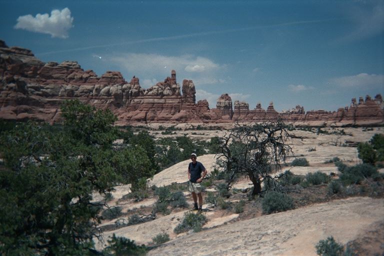
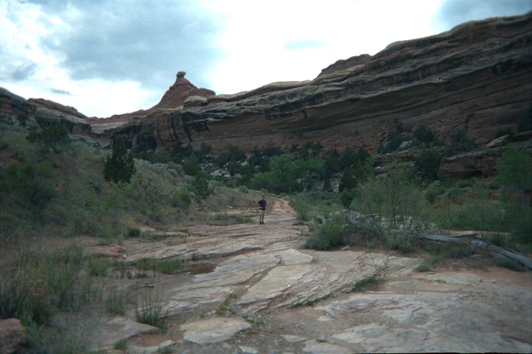
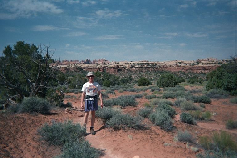
Along the way, we practiced our map reading skills. It really is amazing how much more detail you see than is shown on a topographic map. However, Canyon Lands was definetly an interesting and easy place to get used to using a topo map, since there are so many features visible on the map. |
|
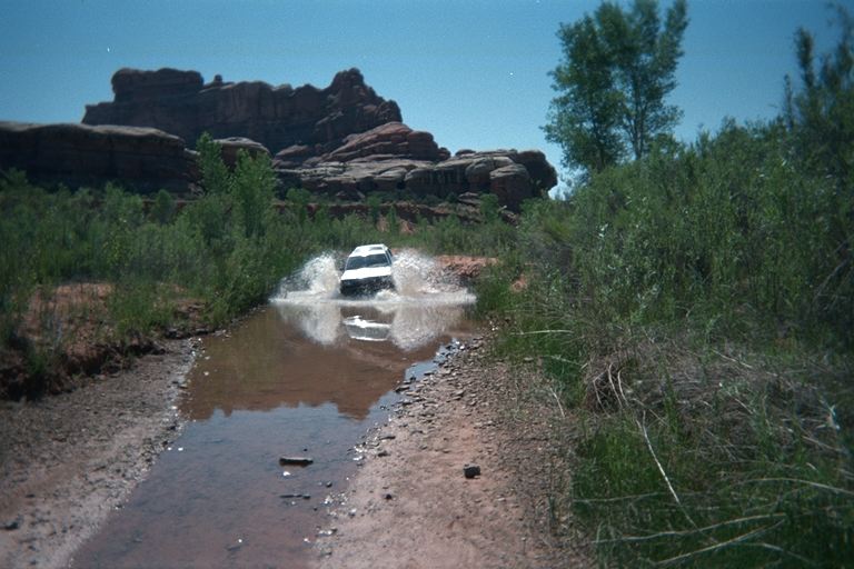
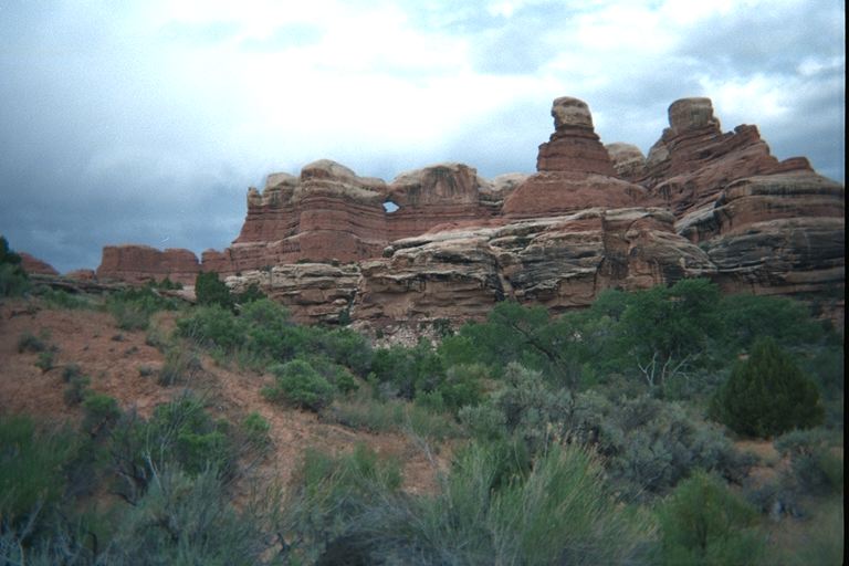
The next day we got up and drove (4 wheeling) up to Salt Creek Canyon -
a veritable oasis in the desert. Salt Creek Canyon, and apparently quite of
|
|
|
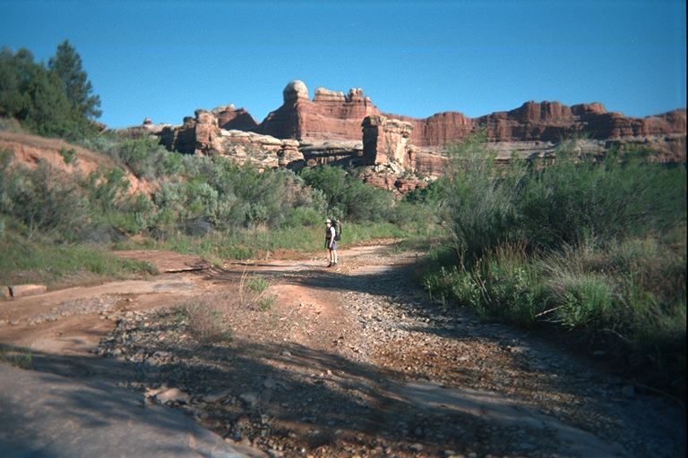
In the farthest left photo, I'm showing off my brand new and entirely huge back pack, which worked great. I'm so glad I went to all the shops in boulder trying out all sorts of packs, and spent at least 1.5 hours in the final shop adjusting, walking, readjusting, walking, readjusting... Anyway, I probably had about 50% more weight than dad, but I think my pack was much more comfortable than the ancient external fram pack dad was using. |
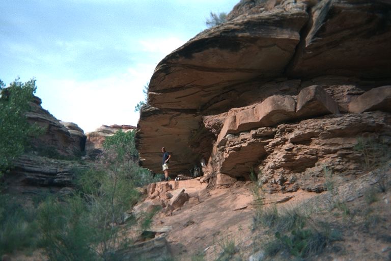 The photo to the left shows an alcove in the rocks, just off the old 4WD
road, that served as our campsite - no tent required! While waiting our the
heat of the day, in our shady little campsite, we noticed an elevation
marking inscribed in the rock (ELEV 5725), although I still suspect that
either our map or the marker was off a few hundred feet, but hey, I could
have been reading the map wrong.
The photo to the left shows an alcove in the rocks, just off the old 4WD
road, that served as our campsite - no tent required! While waiting our the
heat of the day, in our shady little campsite, we noticed an elevation
marking inscribed in the rock (ELEV 5725), although I still suspect that
either our map or the marker was off a few hundred feet, but hey, I could
have been reading the map wrong.
|
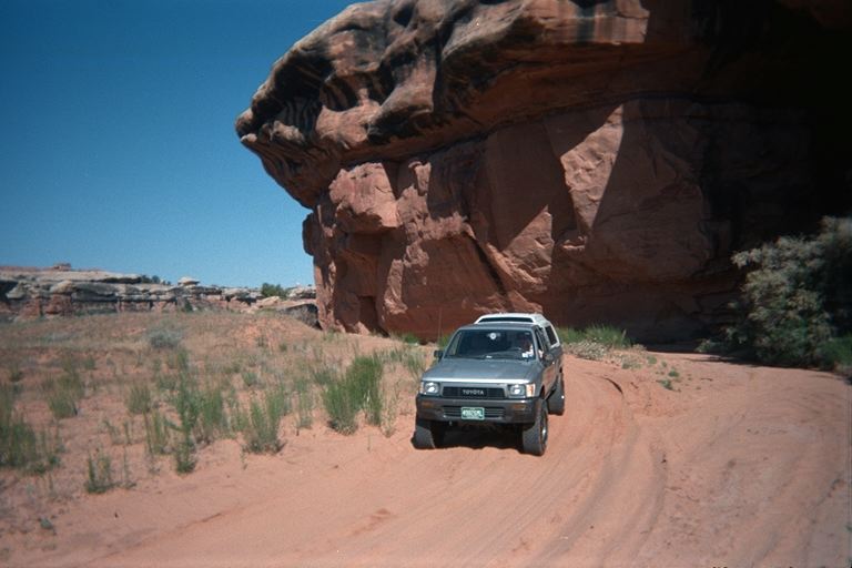
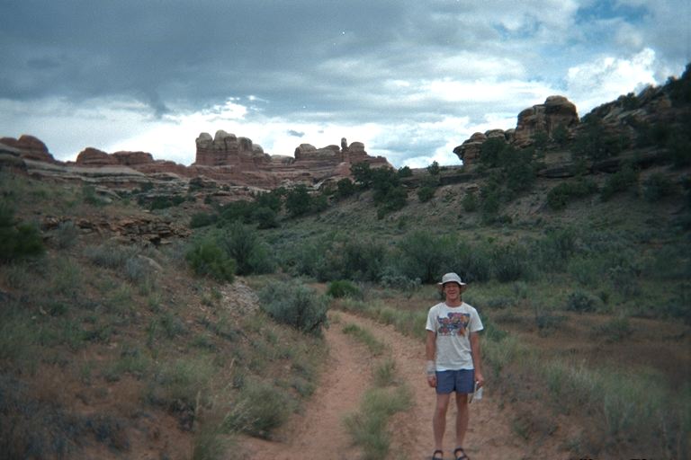
 Once we returned from a few nights in the back country, we followed
another 4WD road to some ancient indian ruins.
Once we returned from a few nights in the back country, we followed
another 4WD road to some ancient indian ruins.
|
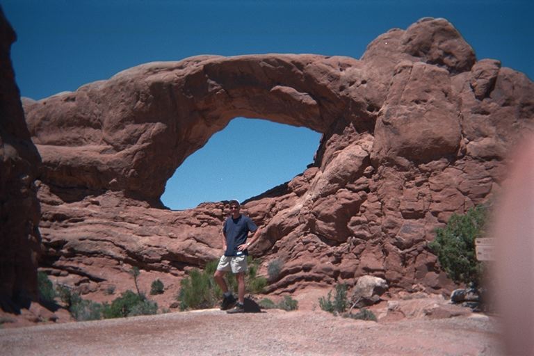 Then it was off to Arches National Park. Here's dad next to one of the
larger ones. This shot was a genuine pain in the keister, since the place
was so crowded. This particular arch is one of the easiest ones to get to.
FYI, this is the park with the famous sandstone arch that you see in all the
Utah broschures and many movies (not the one in this photo).
Then it was off to Arches National Park. Here's dad next to one of the
larger ones. This shot was a genuine pain in the keister, since the place
was so crowded. This particular arch is one of the easiest ones to get to.
FYI, this is the park with the famous sandstone arch that you see in all the
Utah broschures and many movies (not the one in this photo).
|
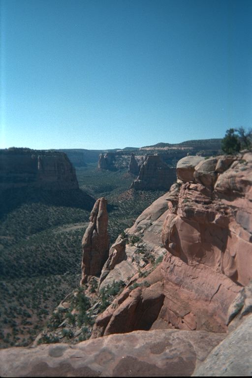 To break up the drive back, we stopped in at Colorado National Monument,
just outside of Grand Junction, on the western edge of Colorado.
To break up the drive back, we stopped in at Colorado National Monument,
just outside of Grand Junction, on the western edge of Colorado.
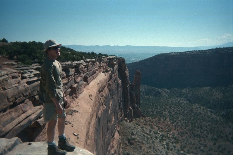 The history of that place is very interesting. The whole park was basically
started by this one loner. Much later CCC put in a road.
One nice thing was the nearly empty campground.
The history of that place is very interesting. The whole park was basically
started by this one loner. Much later CCC put in a road.
One nice thing was the nearly empty campground.
|